Happy Monday!
Happy Monday!
We were fortunate that our road trip coincided with a visit from some very good friends who are now living in Australia. They love Hood River, which is a town as well as a river. Actually the town is a port on The Columbia River, but Hood River (the river) is nearby.
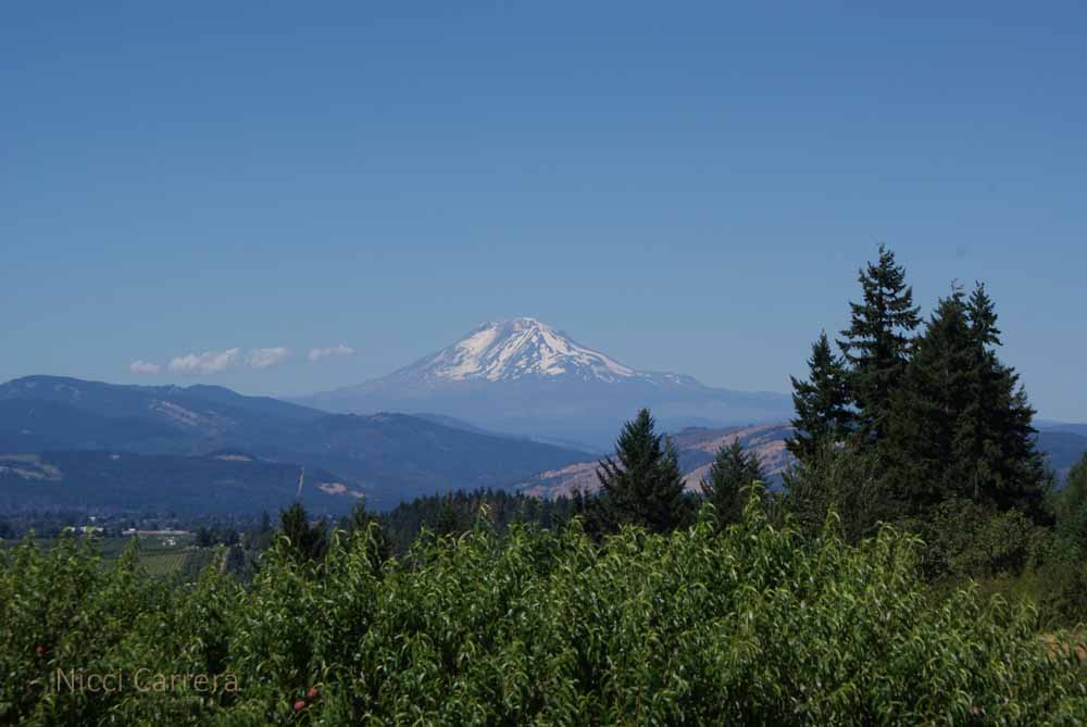
I can see why everyone loves Hood River. It is a quaint town in a beautiful area. Here is a view of Mount Adams from our friends’ rental condo.
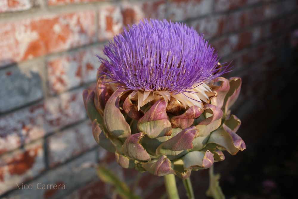
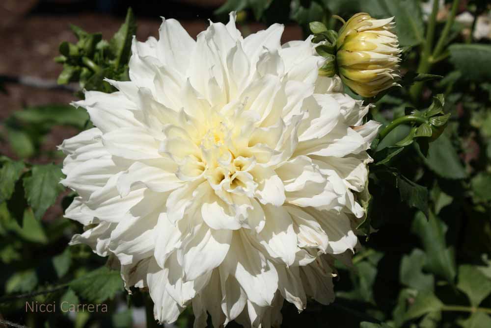
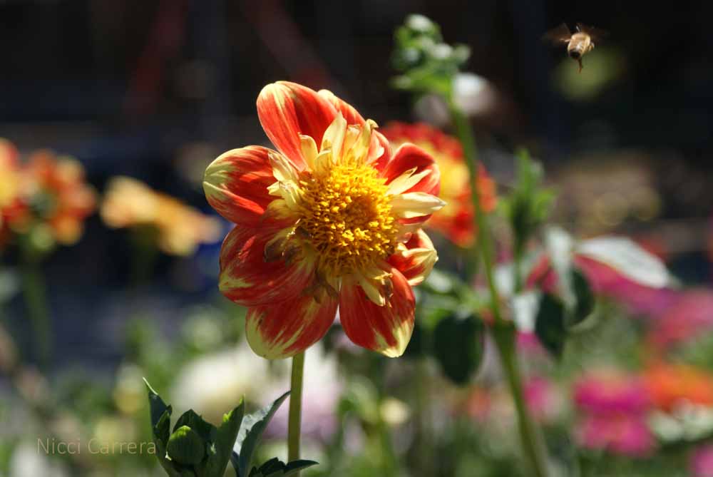
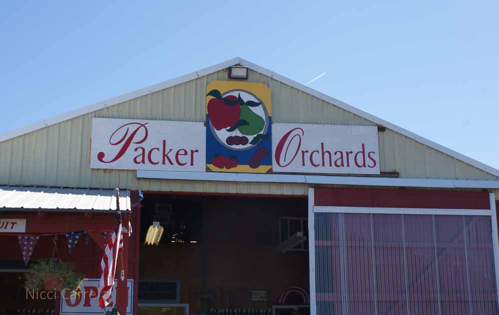
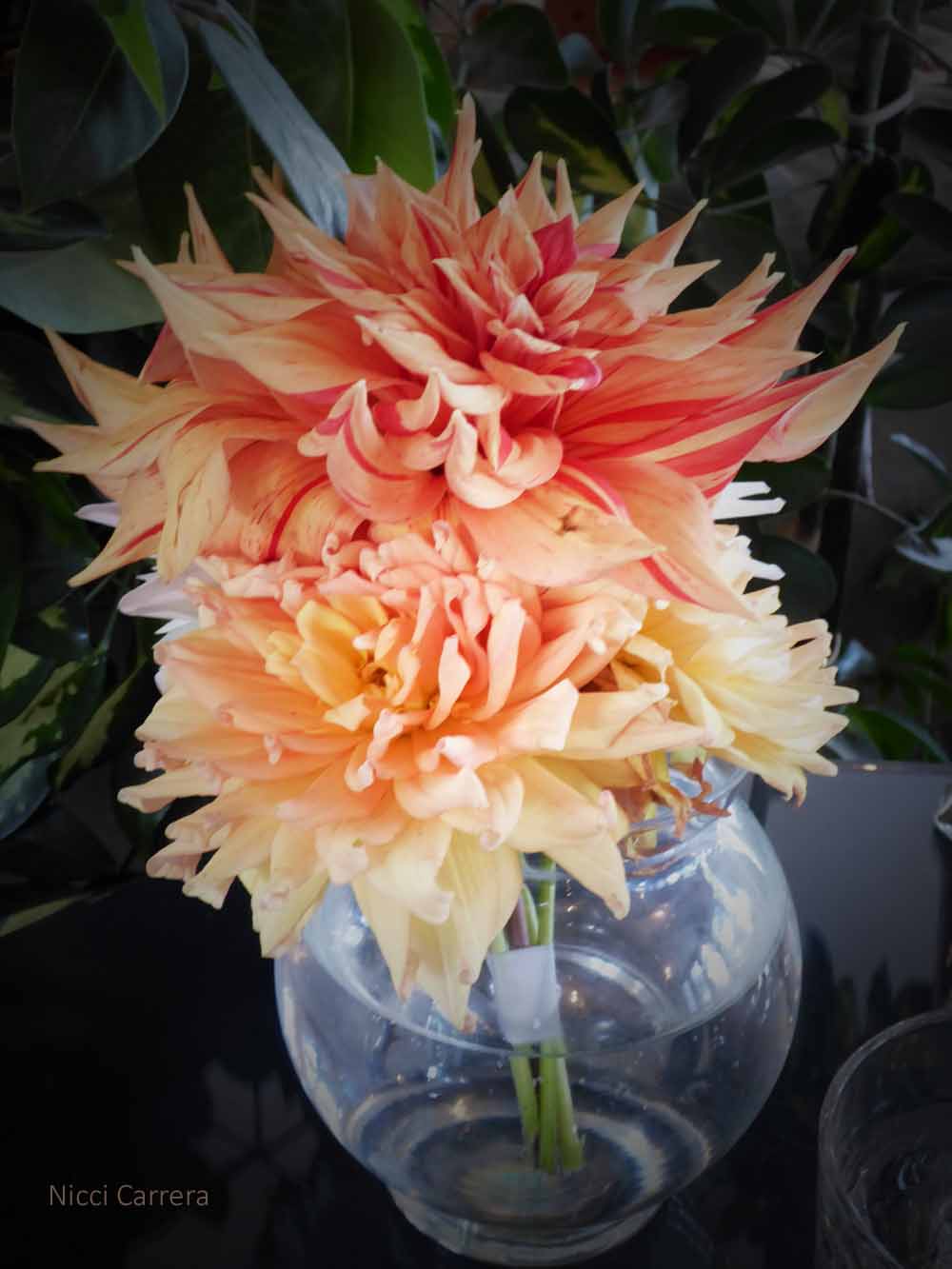
Hood River is beyond the Columbia River Gorge, so after we went sight seeing there, we continued on to meet our friends. We had choices of things to do and opted for The Fruit Loop. So named because of all the fruit grown and made into many delicious products, the Fruit Loop is a self-guided driving tour around the many orchards, wineries, and stores in this beautiful area. First we stopped at a general store where we tasted about 30 different flavors of jam and bought a half-dozen jars. We enjoyed lunch in the store’s beautiful picnic area and afterward I took some pictures of their flowers.
Of course we had to stop at the alpaca farm.

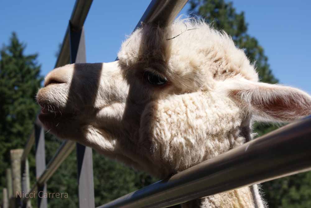
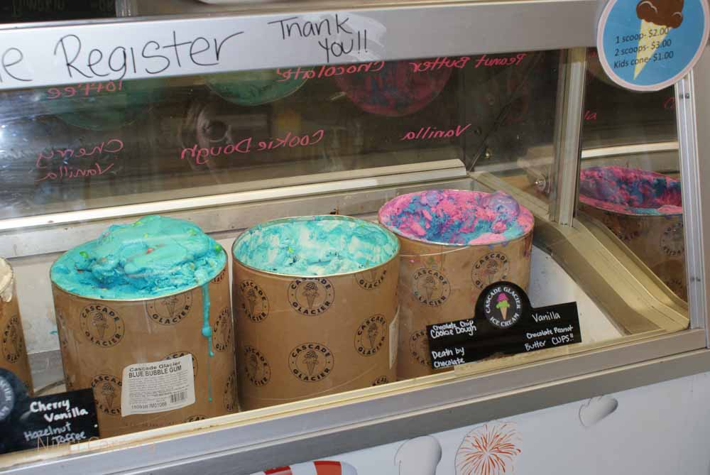
We sampled ice cream and cookies here.
One of my friend’s nephews had cotton candy ice cream. I had to sample that and the bubble-gum flavor, but they were much too sweet for me, and then I had a piece of bubble gum to chew! I ended up just having a little of my husband’s ice cream. I liked the coffee ice cream, which wasn’t too sweet. Yes, there is such thing as too sweet for me, although I didn’t know that before the tasting. I think my tastes have changed a little, maybe because I’ve been eating mostly bland foods.
Our last stop was The White House which serves all kinds of hard ciders made from local fruit. We sampled all of them and took home a “growlette” of the blueberry cider. We saved that for the rest of our trip and then shared it with our daughter and son-in-law when we returned. The blueberry cider was a big hit! I’ve labeled this photo The White House. I think it might be funny if people search for pictures of the one in Washington DC and get this little shot. That’s the President and First Man that you see there.
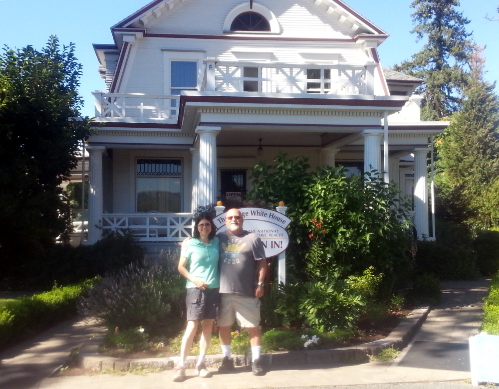
Outside The White House, we had a nice view of Mount Hood.
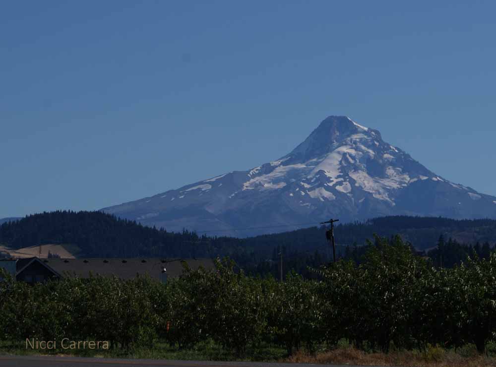
If you’re ever in Oregon, I recommend driving The Fruit Loop.
Entering Oregon, the trees change from redwoods to pines and other trees. It struck me as odd that the trees would be so different in two such close neighboring states. I think the redwoods need something in California, fog probably. The August edition of Scientific American has an article called Forests on the March.
Trees can’t walk to a better place as climate worsens. So scientists are relocating helpful genes instead.
Highway 101 takes you up a long winding mountain pass in Oregon where you can see mountains with forests everywhere. On the rise, you can see the mosaic patterns caused by clearcutting and reforestation.
http://oregonforests.org/content/clearcutting
I saw where paper and wood come from: Oregon. We kept seeing lumber trucks in Oregon and in Washington. I’m rethinking my paper towel usage and continuing not to use much paper. It’s so great that with electronics, writers don’t need as much paper. I see big changes happening in energy and resource use and am excited to be part of progress.
Oregon has peaceful, beautiful forests. When visiting the Columbia River Gorge, we stopped at The Vista House.
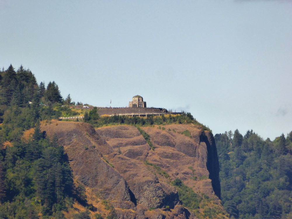
We couldn’t hike the steep trail due to knee problems, so we meandered around the level path, coming out into the opening over the Columbia River just as a Bald Eagle soared by! I didn’t have the camera with the powerful zoom, but I snapped it. As a wise blogging friend once relayed, “The best camera for the picture is the one you have with you.”


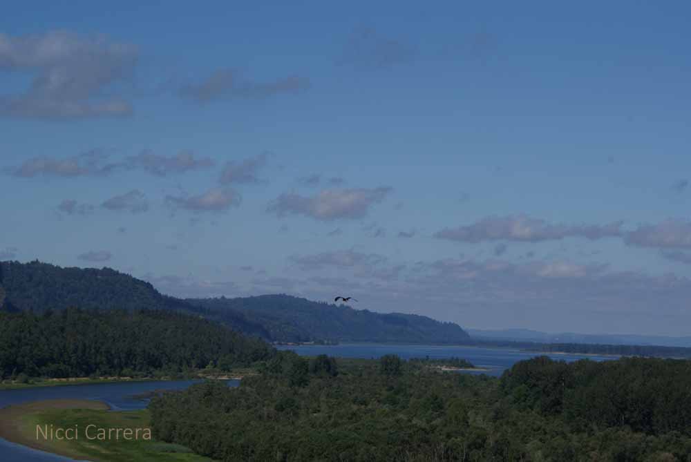
I wanted to capture the bird calls and the aromas for you, but no camera can capture those. This is what it looked like. Imagine warm fresh air and bird chatter.
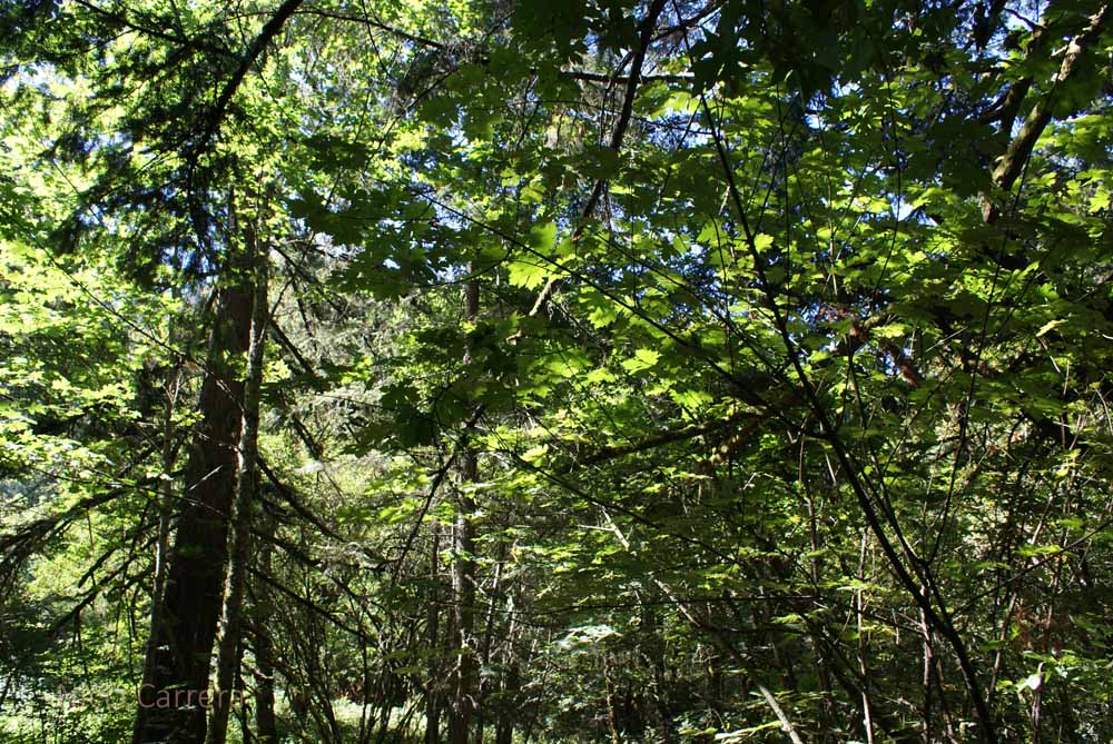
We spotted what we think was the bald eagle nest. It looks small, but it was at least a mile away, so to look this big, even with an 80x zoom, it very well might have been its nest.
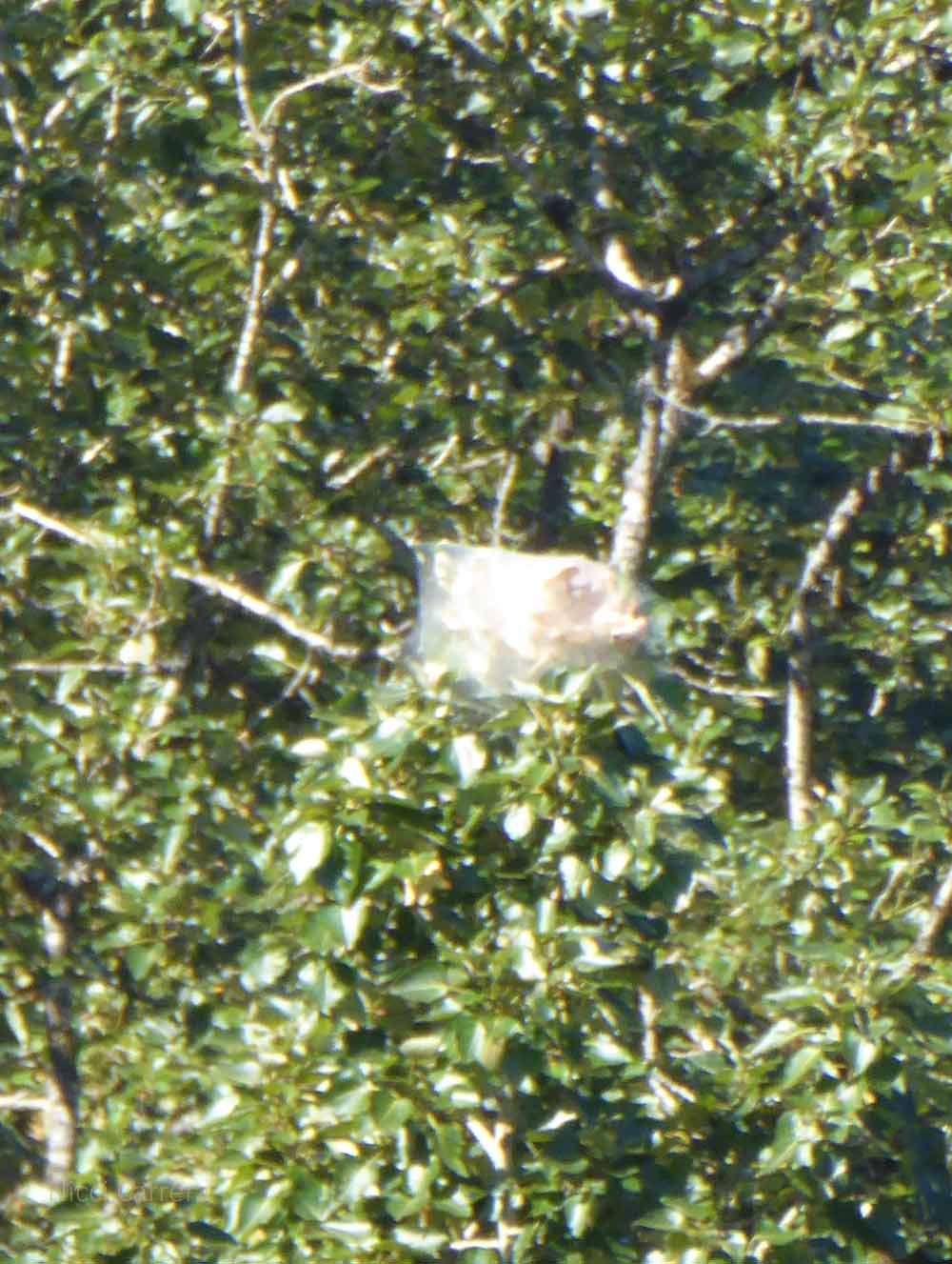
Here are some more photos of the beautiful Columbia River Gorge in Oregon:
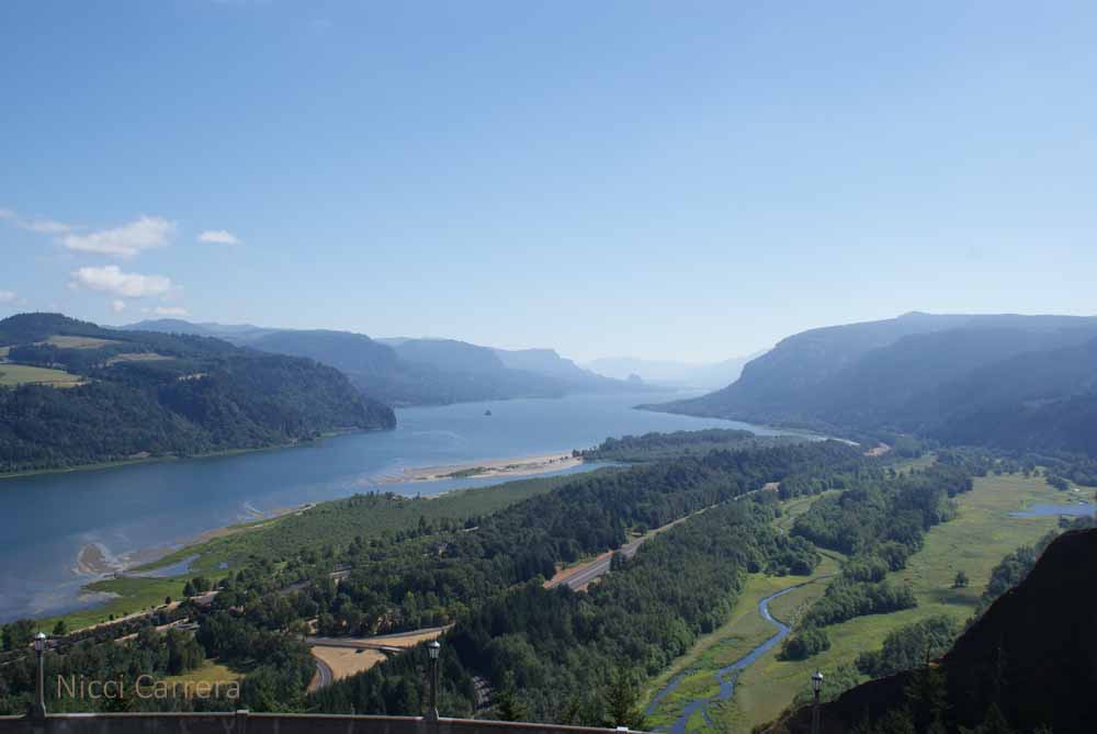

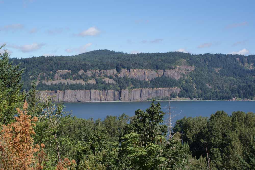
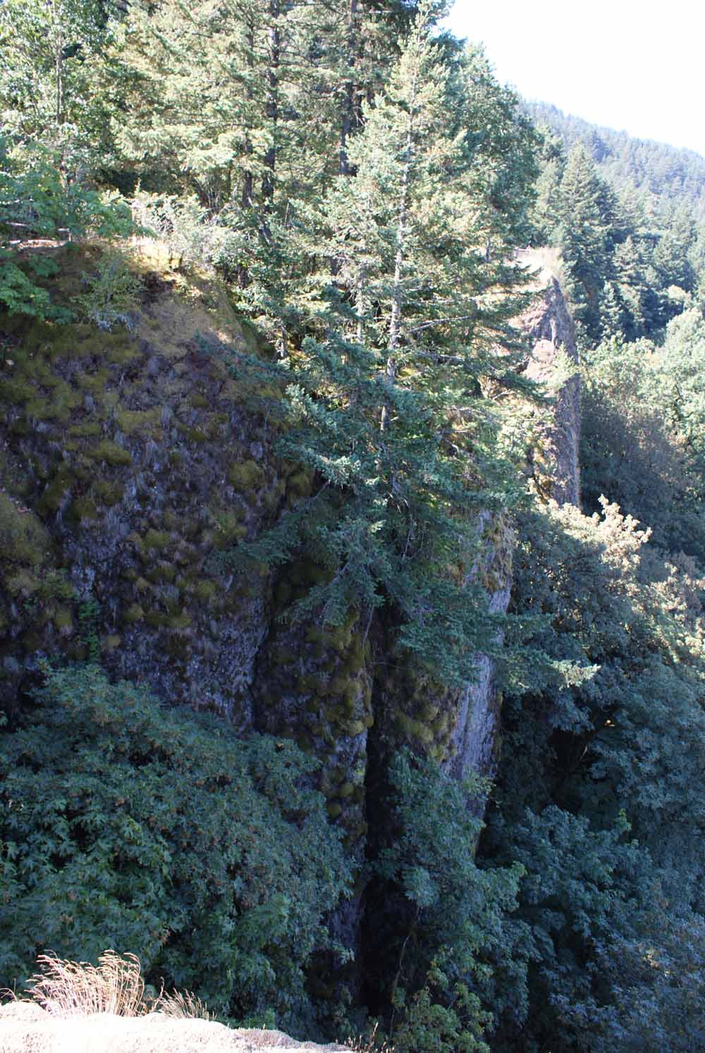
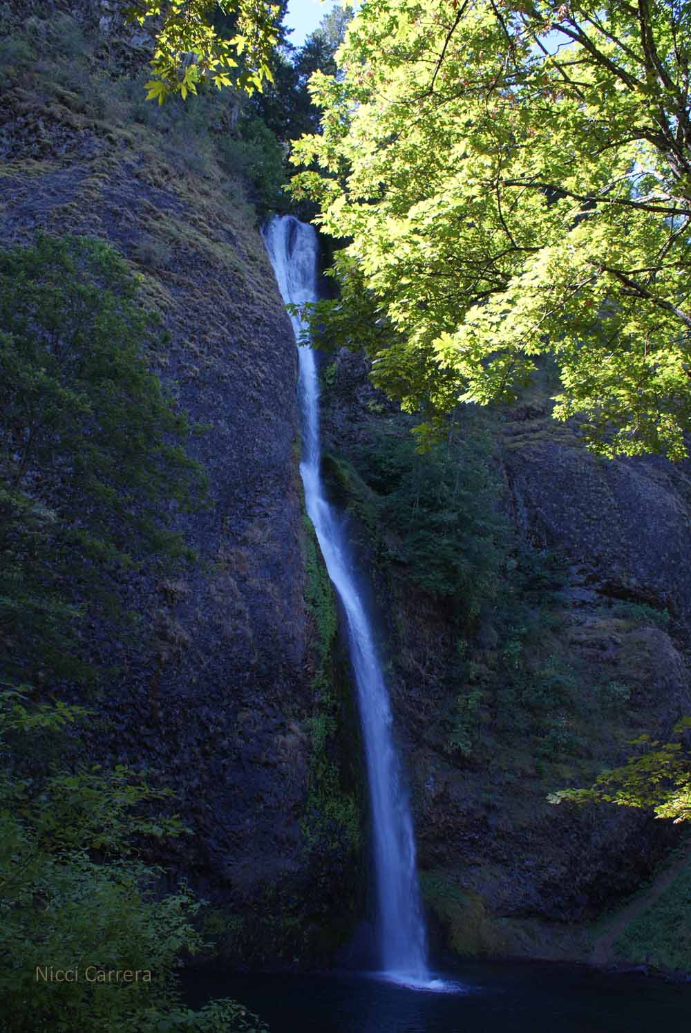
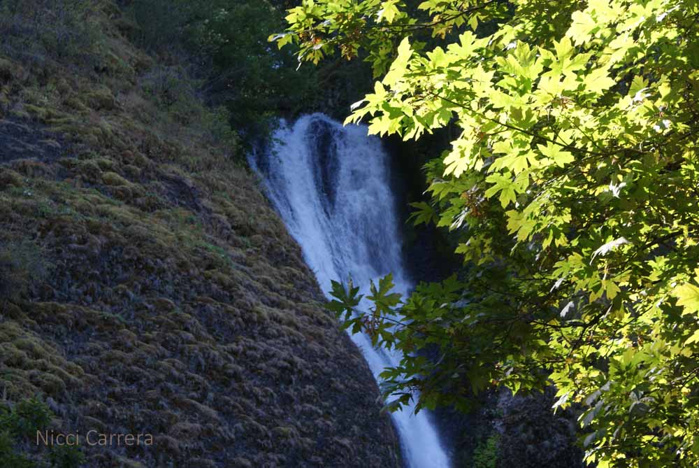
I’ve realized how much I like nature. They’ve discovered just how good it is for one’s health to walk in nature. Check out this article:
How Walking in Nature Changes the Brain
Hi there! I don’t know what happened to my blogging habit. Actually, I do, and that’s today’s topic. I started the series Road trip Day 1 with high hopes and expectations, and crashed and burned after Day 3, LOL! Road trips are tiring. You need to pack up each day and, you know…hit the road!

Then driving is intense. If you are the driver, you are always focused on the road, if the passenger, you are focused on the map, finding a gas station, helping the driver, eating snacks…

Each time we filled up at a gas station, and I smelled those stinky fumes, I wished I had an electric car. An electric car would not have worked for the road trip we just took, though. The charging station infrastructure does not yet exist for places off-the-beaten-track. Also, the thought of layering on the logistics of finding a charging station and waiting an hour for each fill-up is daunting. A road trip already involves a lot of logistics. But an electric car is on our someday list, and we are excited about the Tesla’s plans for affordable sedans and more infrastructure.
For example, we travel with our own food. We call this “RV Light” because we considered getting an RV and then realized that there were only two reasons we wanted an RV, to have our own food with us and to have our own bed with us. Of the two, the food is the main thing. All hotels and motels in the US seem to have good beds nowadays. Good beds are non-negotiable in the hotel/motel biz. That just leaves the food, for which we have a portable plug-in cooler, given to us by my sister. The cooler plugs into the car’s cig lighter and then into the wall at the hotel. We pack our pantry into a duffel bag (which I call “the body bag” because it’s so heavy). The combo makes for a lot of luggage at check-in and check-out, but that’s okay.
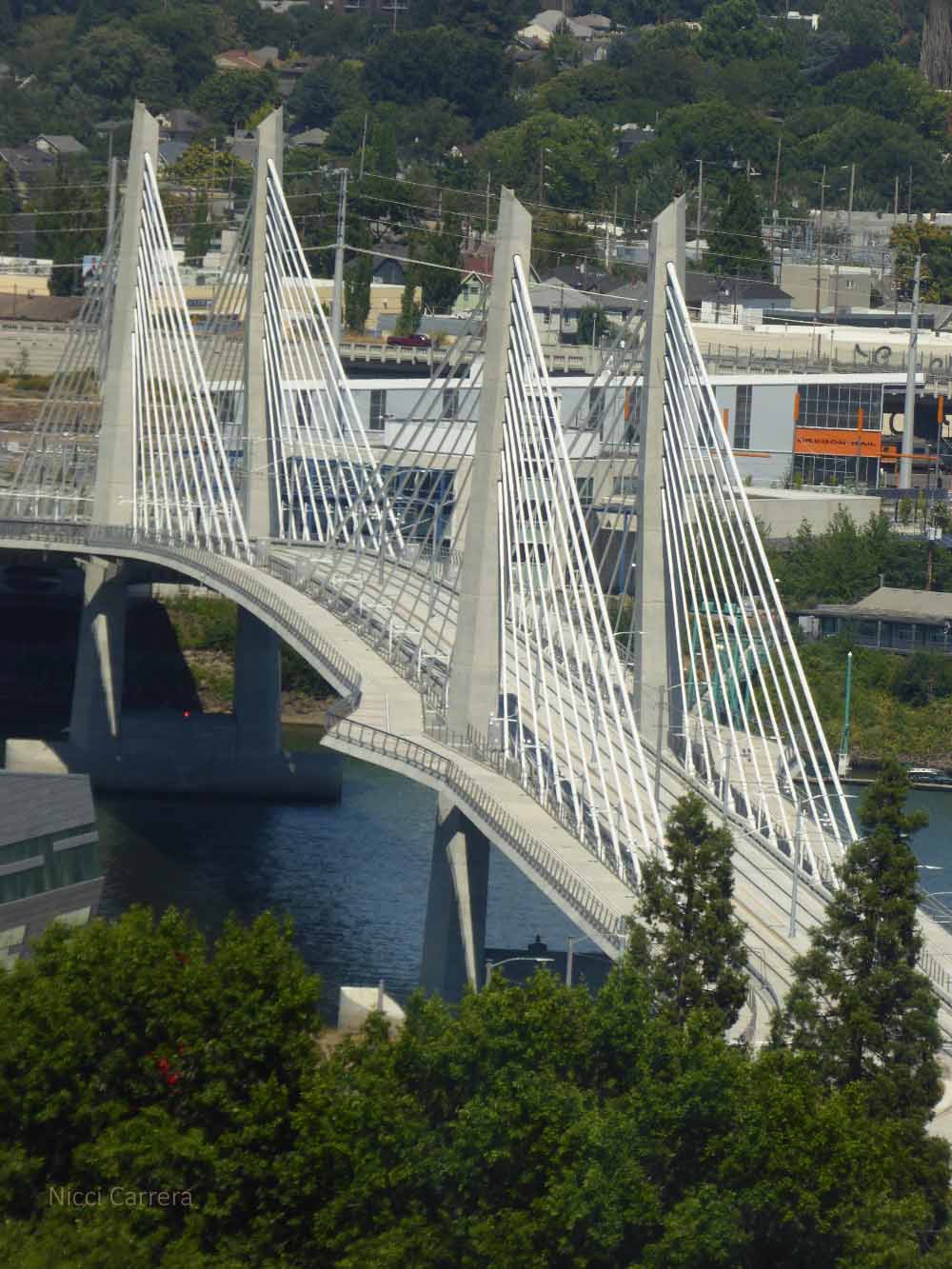
I am trying to remember the places we didn’t stop, and didn’t photograph, but which educated me. Since I don’t have photos from these spots, I’m weaving in some shots I did take, and just telling you a bit about the other places.

With travel, places go from being words on a map to having more dimensions, even if just driving through. I wanted to share a couple memories because, in a way, the places one speeds through are just as important as the places one stops on a road trip.
I always wondered why northern California had a Eureka and a Yreka, and if they were very similar. They are not!
Eureka is a town on the coast. Highway 101 goes through the town and passes between a mall with chain stores on one side and a factory on the other side. You emerge from this town and descend to the coast line in full view of the Pacific the whole way. Glorious.
We came upon Yreka after descending from the pass that divides Ashland Oregon and the border of California, on Interstate 5. Yreka is the first town after the border large enough to be on a map. I-5 takes you down a long descent through hills dotted with just a few trees and lots of yellow grass. From I-5 south, I didn’t see the downtown, but did observe lots of large farms. Should you choose to live in Yreka California, you will have an amazing view of Mount Shasta and easy access to Ashland Oregon. Also, you’ll have plenty of open space.
I have not been able to keep up with a daily blog post, due to my writing schedule, and sometimes due to travel. I’m going to try blogging on Mondays, Wednesdays and Fridays, and try to warn you if I’m going to go dark or sporadic during a trip. Thanks for reading, and have a great week.
Here are some more photos from our lovely night’s stay in Trinidad California at The Lost Whale Inn.

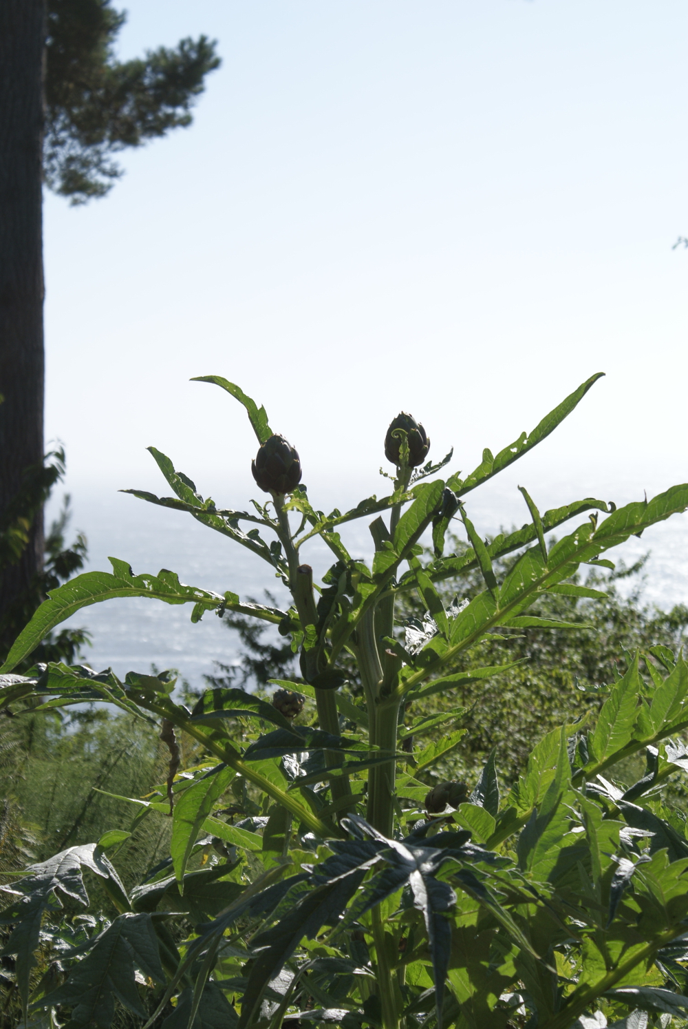
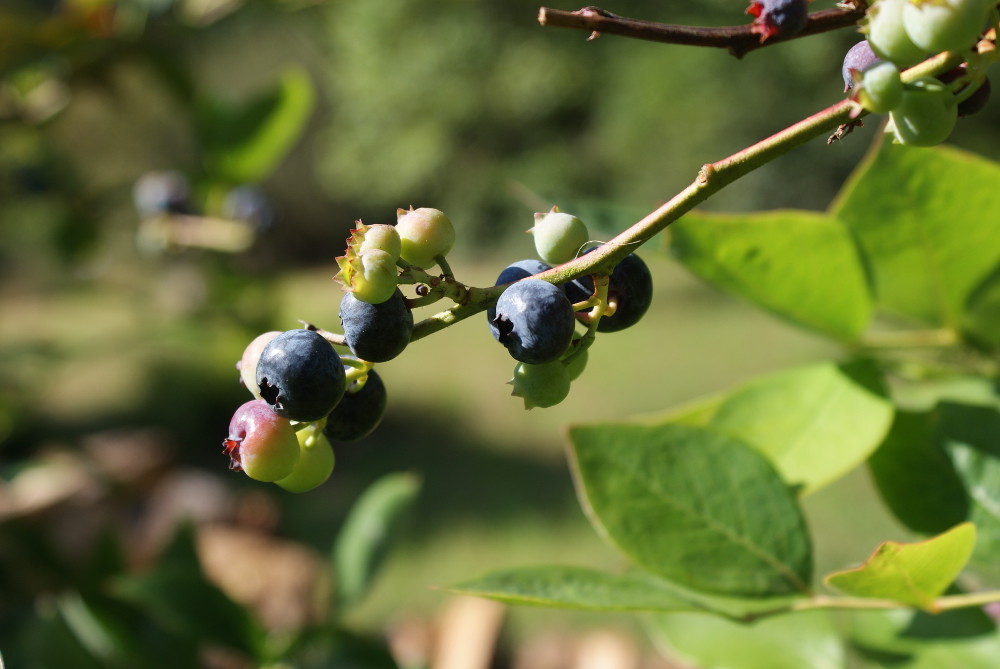
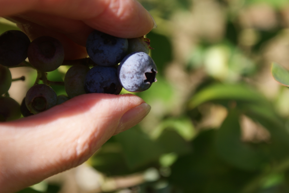
The inn keeper invited guests to enjoy the blueberries and strawberries in the garden. What a treat.
The path down to the viewing platform was filled with ferns, wildflowers and trees.
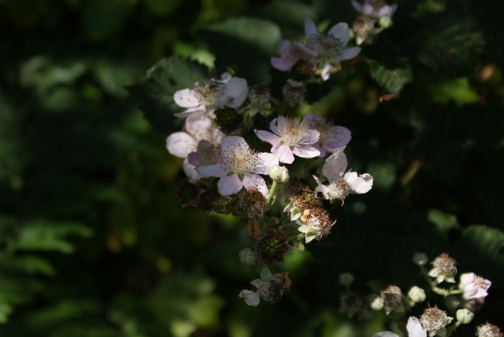
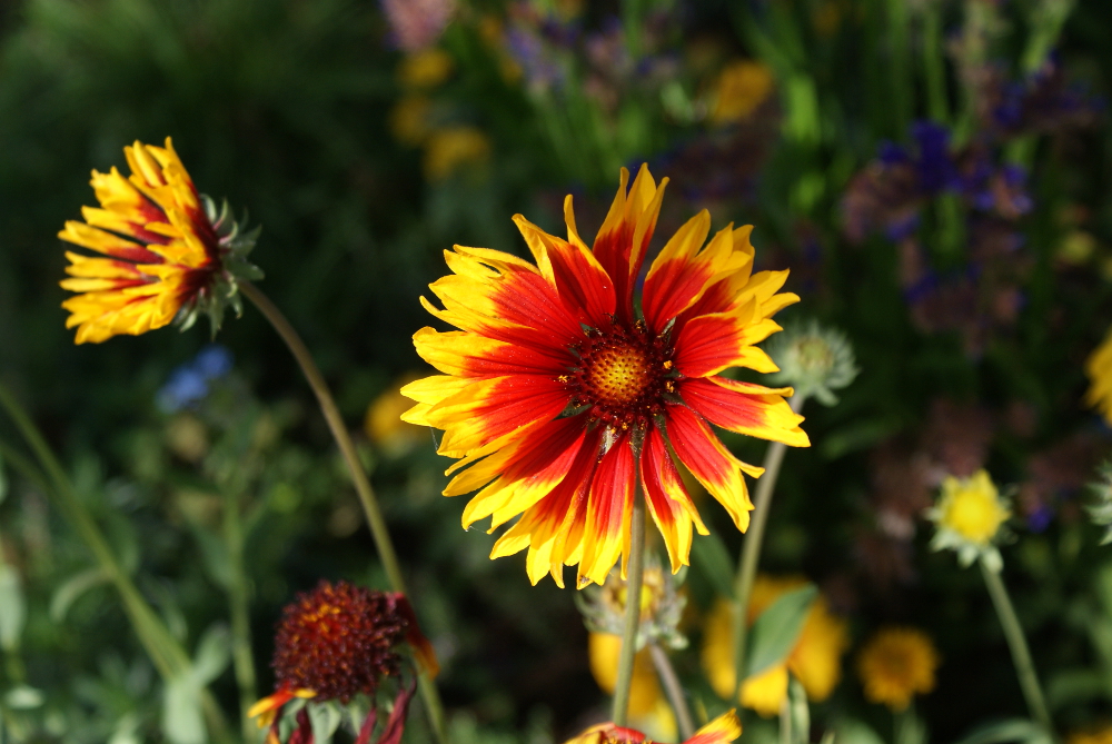
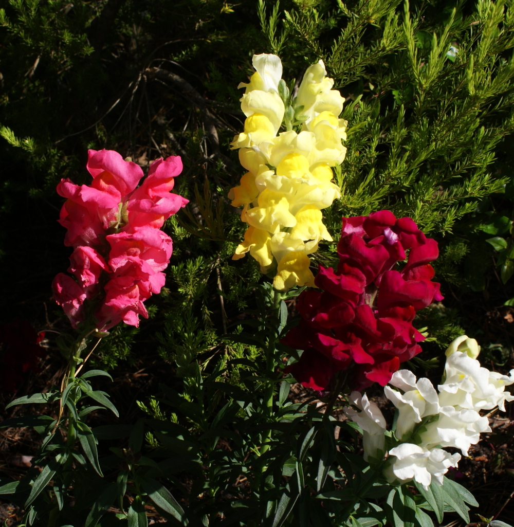
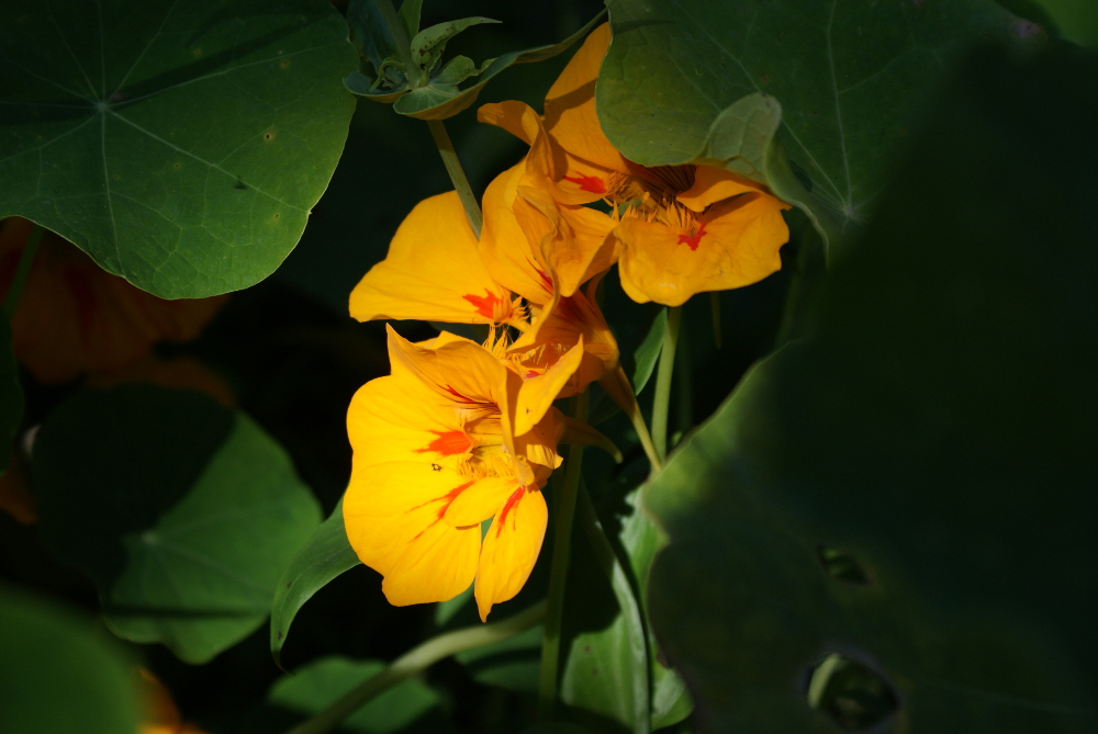
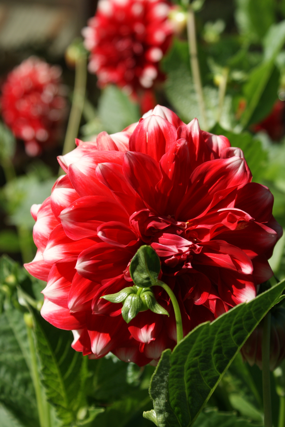
Many varieties of flowers bloomed in the gardens.
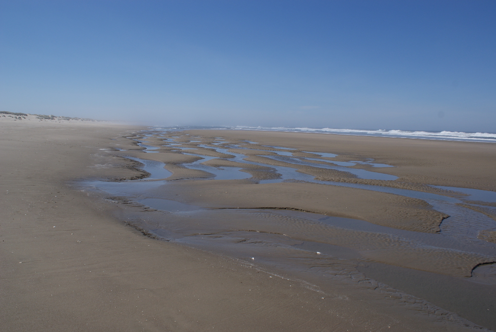
South Jetty Beach or just South Beach in Florence Oregon is vast. The beach flanks an extensive dune park that is a national park. Drive through the national park to get to the jetty, where there is no park fee, as the last parking lot is not part of the park. People camp along the jetty, in camper trucks and small RVs. Driving out on the jetty looks very treacherous for the undercarriage of a vehicle. The campers and vans parked had a lot more clearance than the average vehicle.
This was my favorite picture of the day.
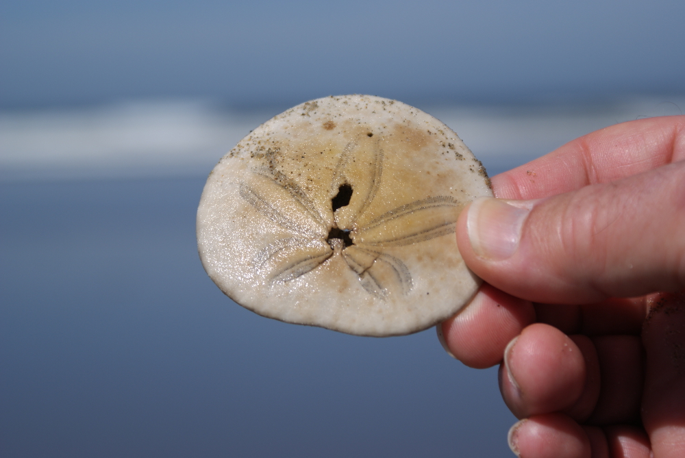
The sign at the entry warns you not to eat razor clams. They are toxic, and “cooking doesn’t get rid of the toxins.”

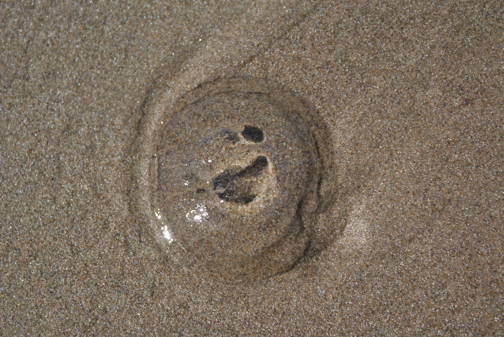
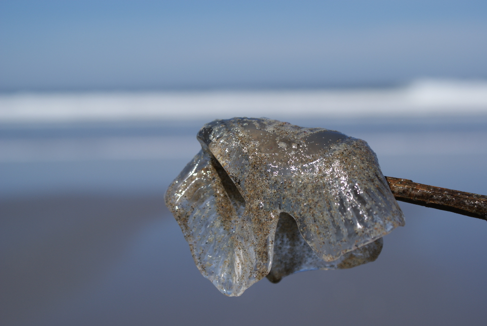
A lot of jelly fish lay inert in the wet sand. I am not sure if they are dead. A lot are at least mangled. There was one that seemed perfectly formed, though. I’m not sure because I don’t know what a perfect jelly fish is supposed to look like, but this one was clear as glass and symmetrical. It seemed to the inexpert eye to be in much better shape than the one we scooped up on a stick.

I didn’t get a good shot of the dunes because I accidentally left the camera on macro, so it’s out of focus, but I wanted to include this photo because it shows the soft sand on the dunes. The sand is amazing.
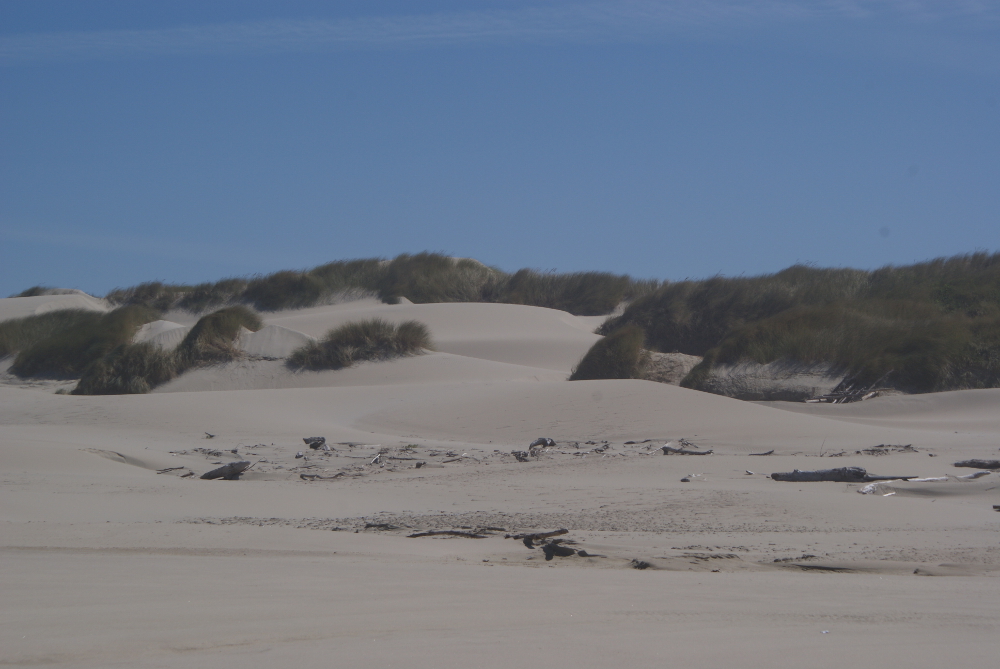
The big dunes are behind this range of dunes that lines the beach. The national-park dunes are huge enough for ATVs (all terrain vehicles) and boarders.
Here’s another of the beach-side dunes. I fiddled with it, which is why it is so bright.

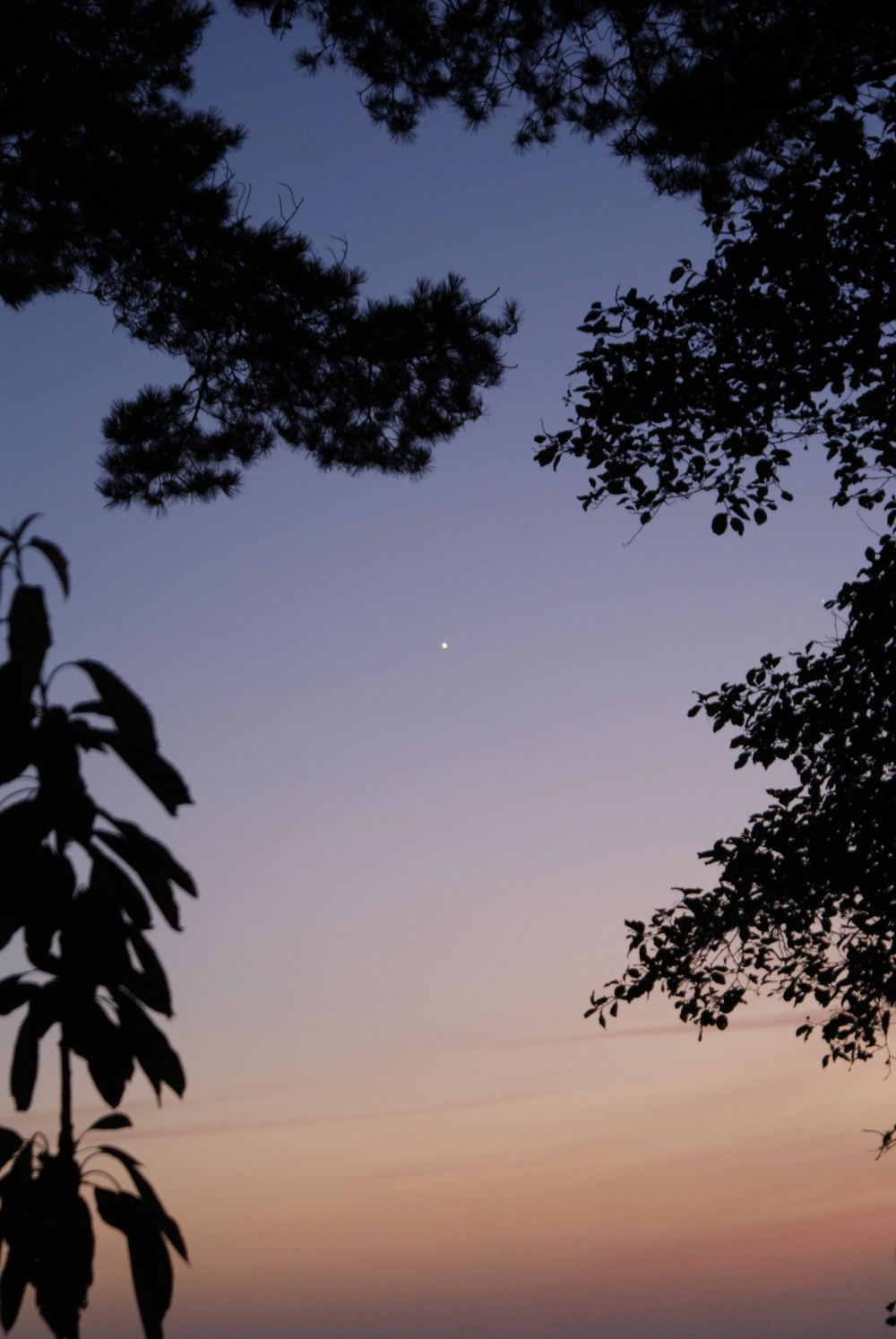
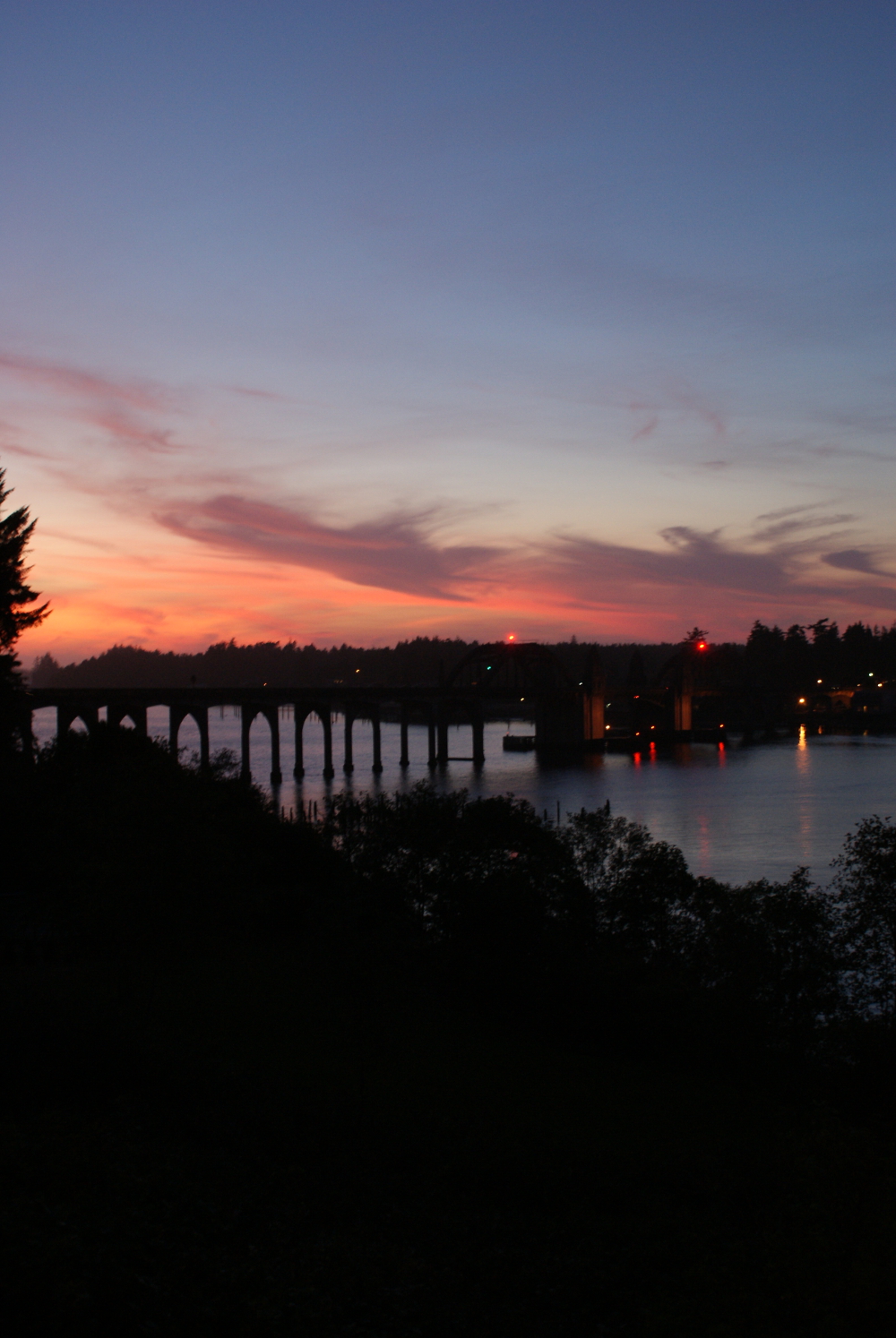
First I must show you a shot of the sky at twilight in Trinidad, though it was technically on day 1.
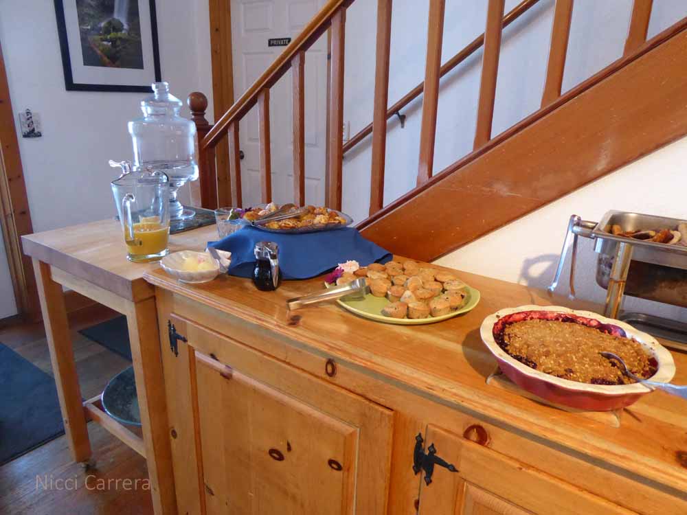
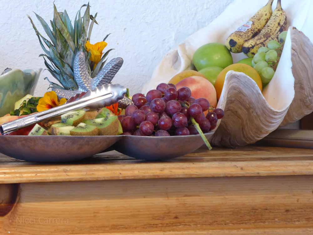
Breakfast at The Lost Whale Inn was noteworthy.

After a long day of driving we arrived at The Best Western at Pier Point in Florence Oregon. This place sits right on the estuary with lovely views.
Today we are going to explore the beach in Florence. The Oregon coastline is different from the California coastline. There are no redwoods. There are a lot of sand dunes and what looks like a fun time to be had boarding down the dunes, but we are going to go out for photos at the jetty. Lunch will be back at the hotel on our deck overlooking the estuary, enjoying food we brought with us in our plug-in cooler, then we head off to Portland, Oregon!
Located on the cliffs just past Trinidad, in Northern California, The Lost Whale Inn is one of the most beautiful places I’ve ever visited.
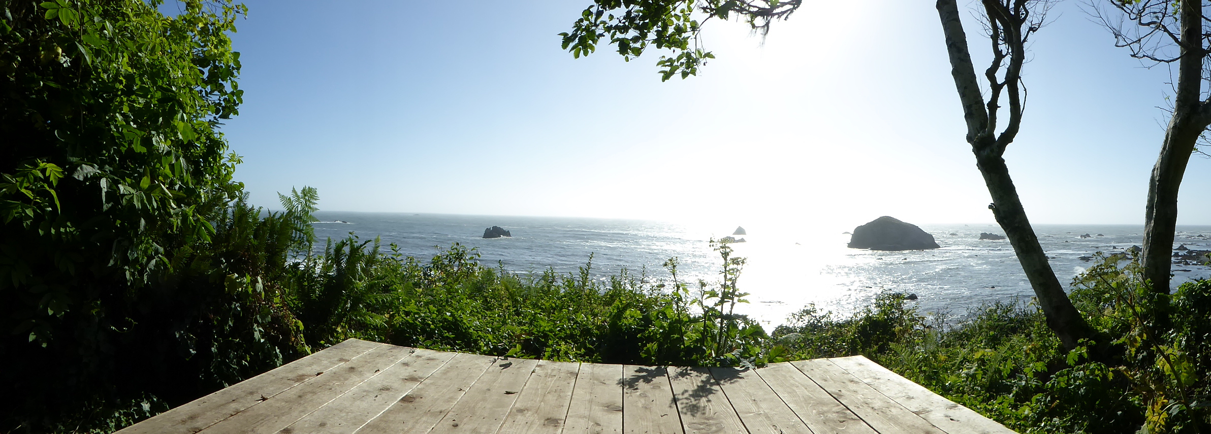


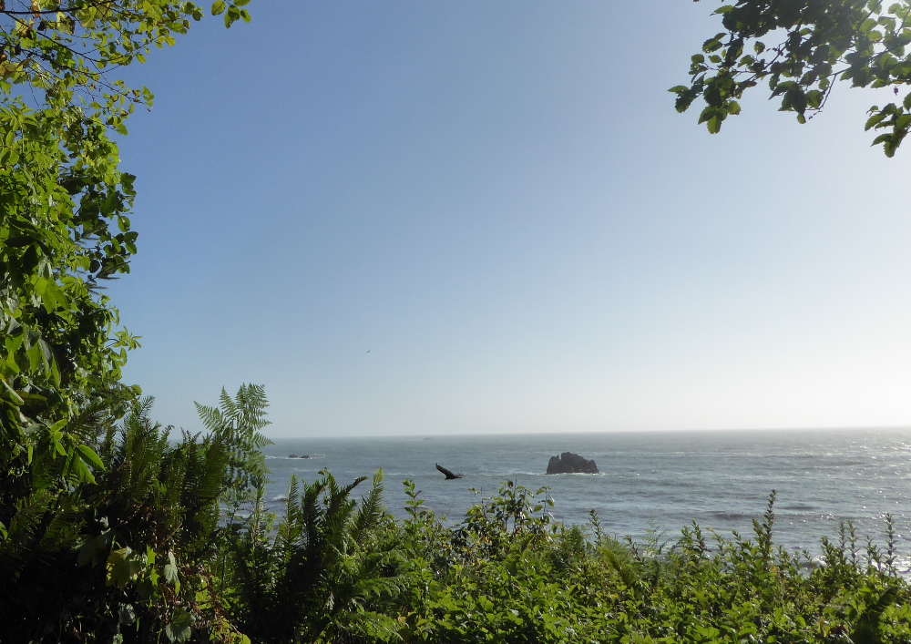
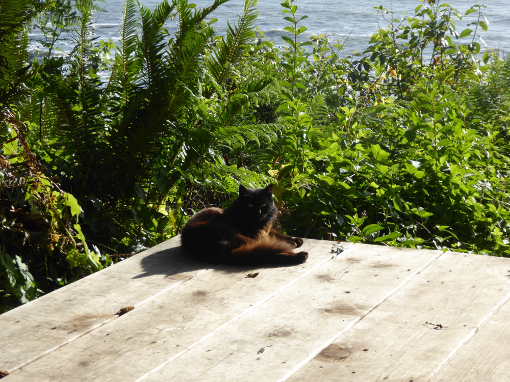
They have two nice pets who live here, a golden retriever and this cat, Spooky, who followed us all the way down to the lookout platform.
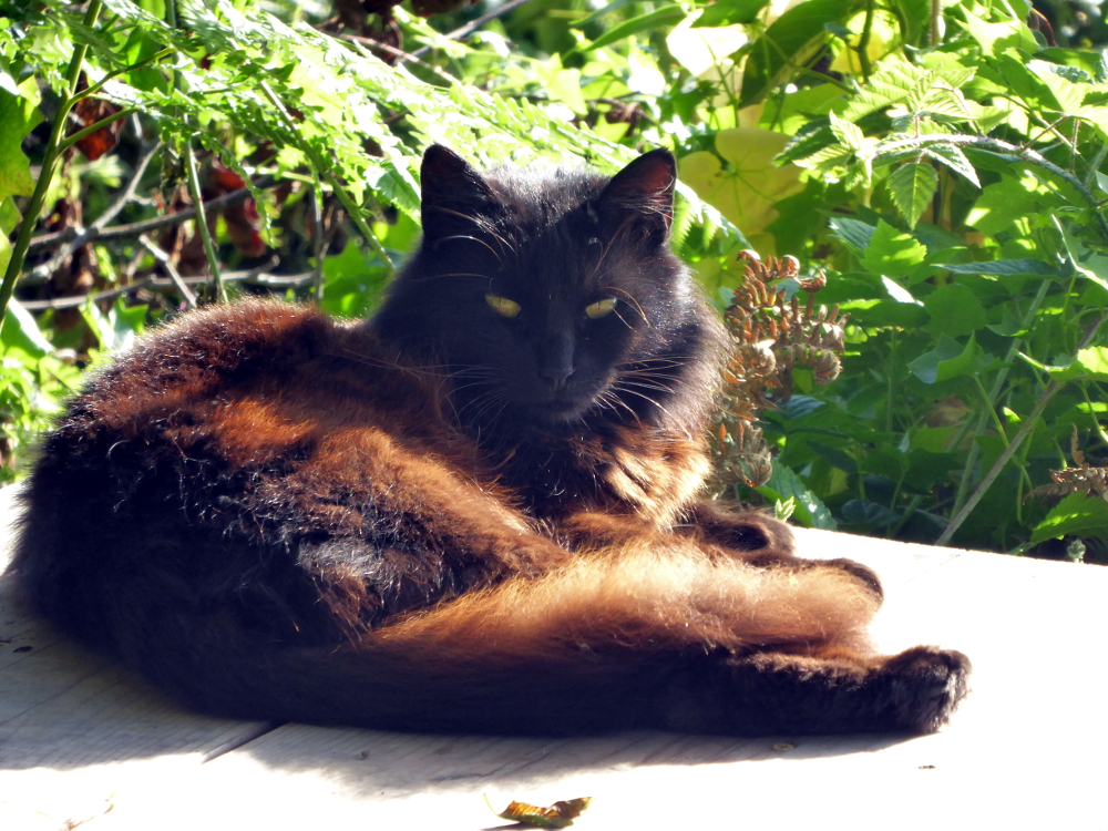

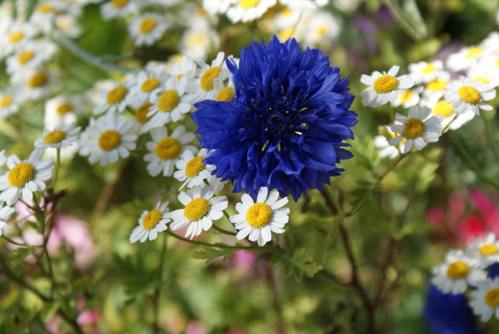
I have many more photos of the gardens, but here is one shot for today before we have to check out!
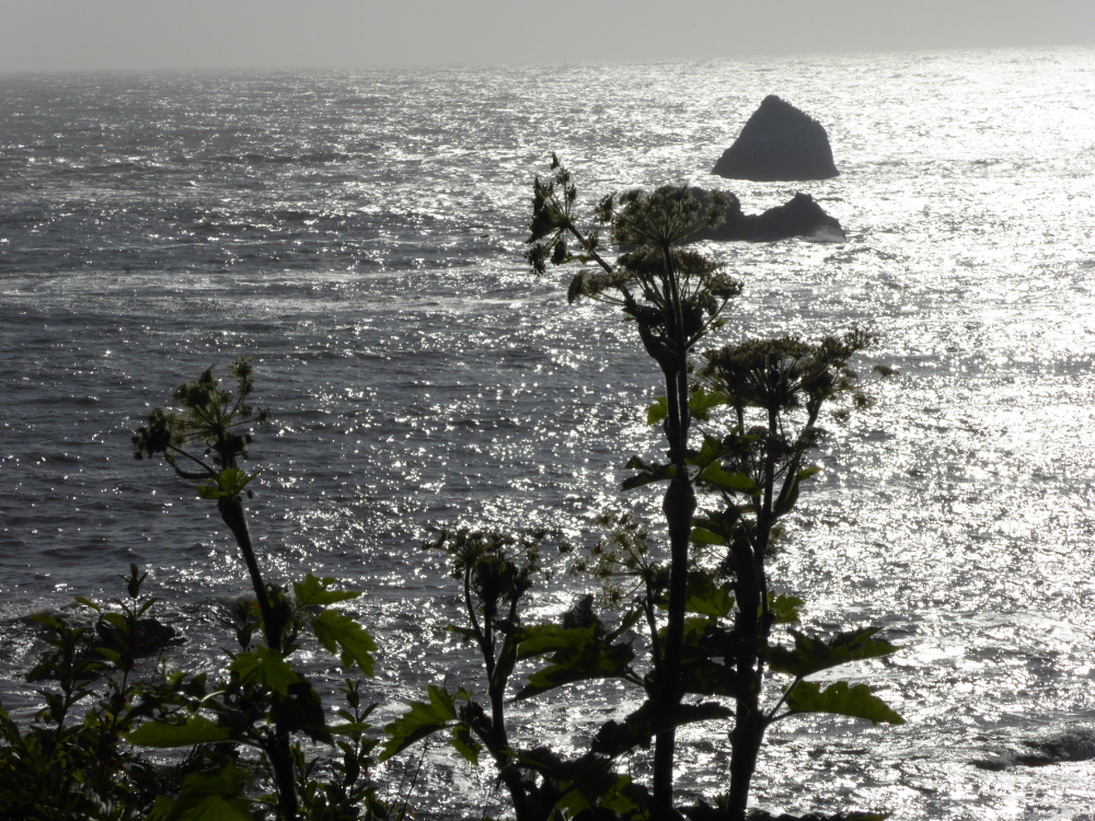
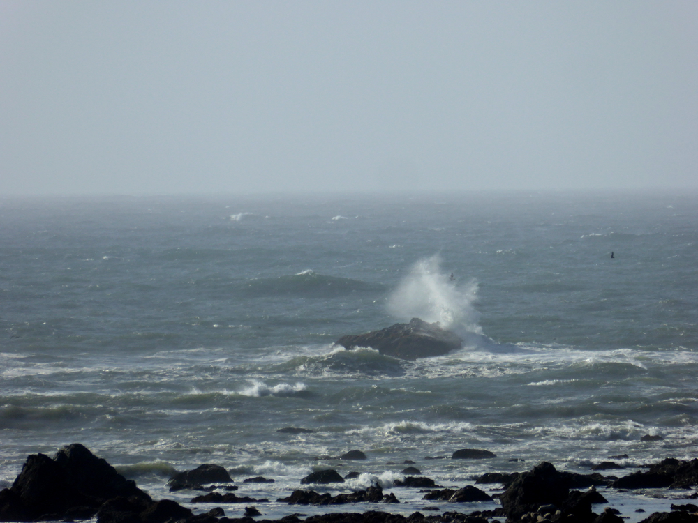
Off in the distance, this rock created wonderful wave crashes.
I’m answering the Wild Rider Fitness Challenge issued by Susie Lindau! http://susielindau.com/2015/06/08/join-the-wild-rider-fitness-challenge/
Here are some photos I took on our walk in La Jolla. First, the evidence that I was actually outside, a key part of the challenge.

Look at that pale writer’s face!
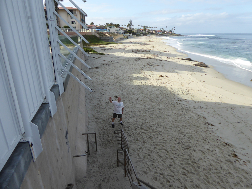
My husband posed for a shot on the beach where we walked for a while.
Later we walked around the neighborhoods of La Jolla and Bird Rock. Some houses are grand, and some are quaint. I dreamed of living on this street:

And here is the end of our walk.
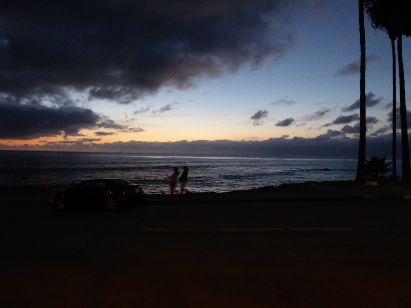
Just kidding! We did go for several walks a day, though, because it was easier than getting in the car to go do errands.
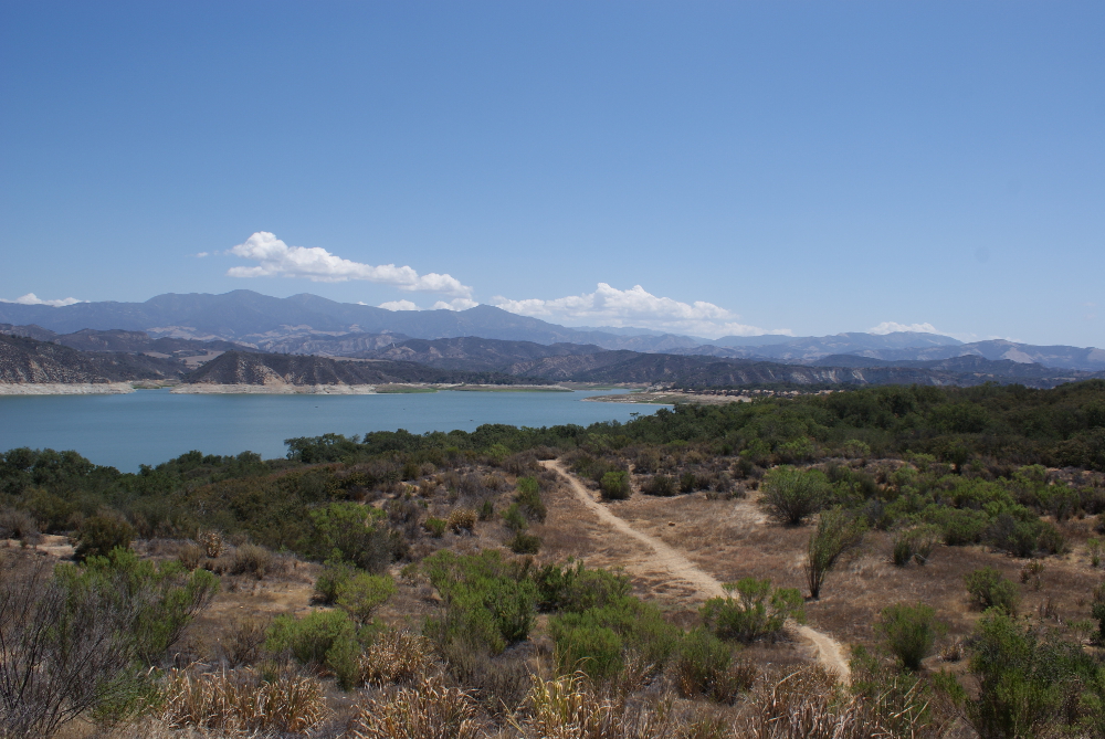
Traveling to southern California last week, we stopped so I could take some pictures of a typical California landscape, rolling hills dotted with oaks. This area near Santa Barbara doesn’t have many oaks. This is looking to the east. The other side has the mountains that flank the coast, and those have oak trees.
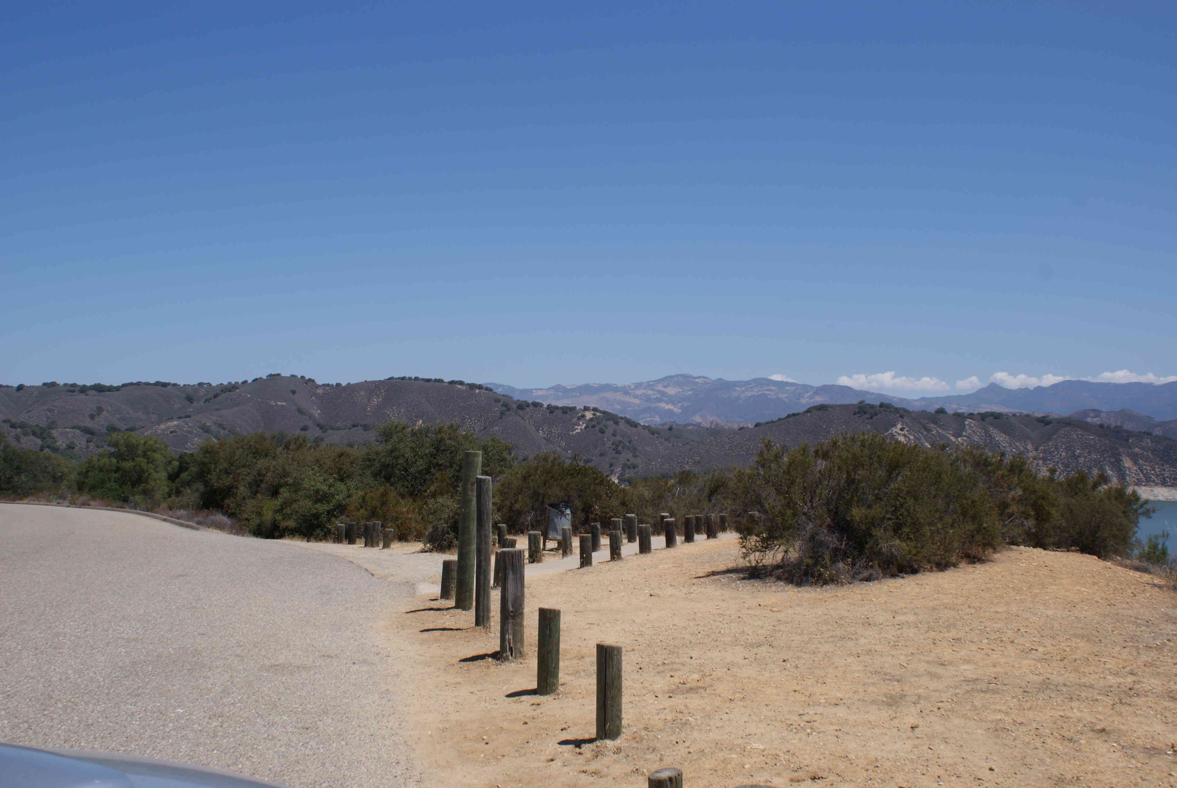
Here is a picture of the coastal mountains, which are right across the freeway from the above shot.
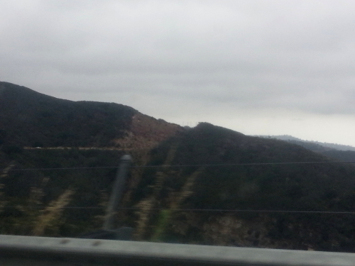
You can see very different vegetation. The coastal mountains get water from the fog. A little bit inland, and it dries out. The more inland you go, well, the drier it is.
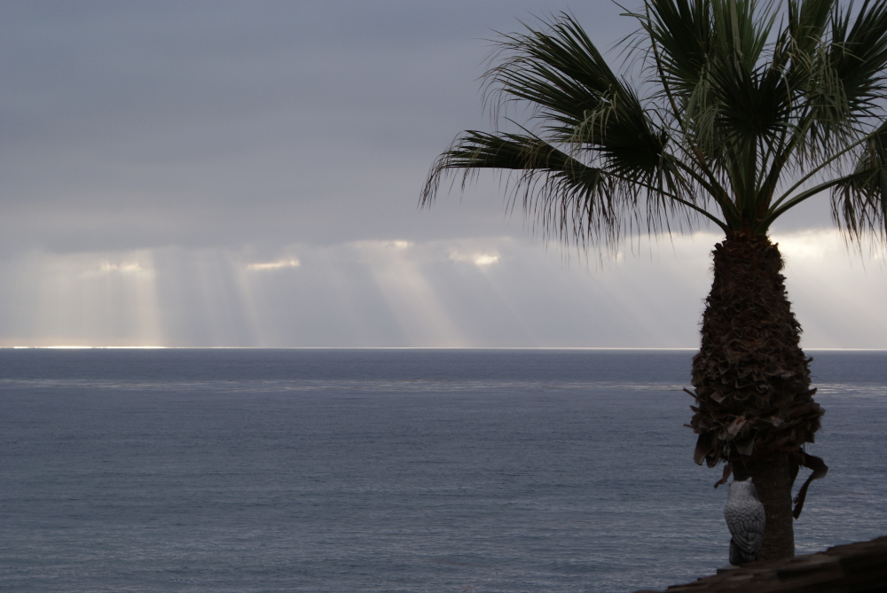
Of course, when you arrive in La Jolla, which is in San Diego County, it looks like this. Water, water, everywhere, and desalination, too.
I have some links to share. The first is a very interesting interactive government link on climate change that lets you look at predictions in any region in the USA.
http://nca2014.globalchange.gov/
The next one was curated by @concretecamping and is what we are all hoping for.
http://www.zerohedge.com/news/2015-07-14/california-get-relief-drought-el-ni%C3%B1o-rescue
In deference to one of my blog followers, El Niño does not always produce more rain. (El Niño is a warm tide along the western coast. The last big one produced a huge amount of rain, enough that our family all went out to watch the water crest one of our big dams.)

